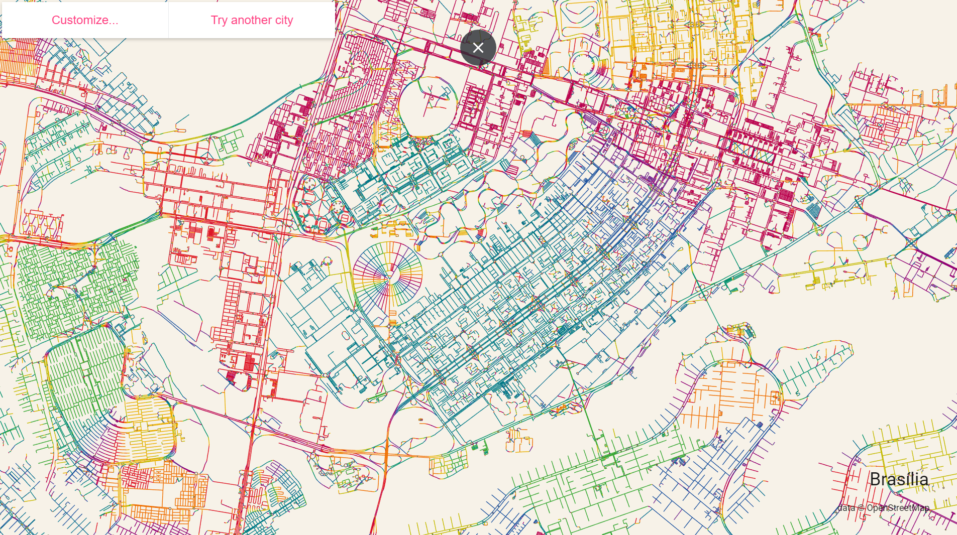
Roads colored by orientation
The figure below shows the roads in Brasília colored by orientation. Beautiful rainbow patterns but a horrible not exactly a great experience for pedestrians though. These maps were created using a really neat interactive tool developed by
Andrei Kashcha &
@mitsuchi using data from OpenStreetMap.
You can try it on other cities here or check the
source code. Hat tip
@mapmakerdavid and
@stevevance.
If you’re interested on the topic of street network configuration and urban morphology, you should have a look at Geoff Boeing‘s work, in case you haven’t already. In this paper, in particular, Geoff analyzes street network orientation and entropy in 100 cities around the world.
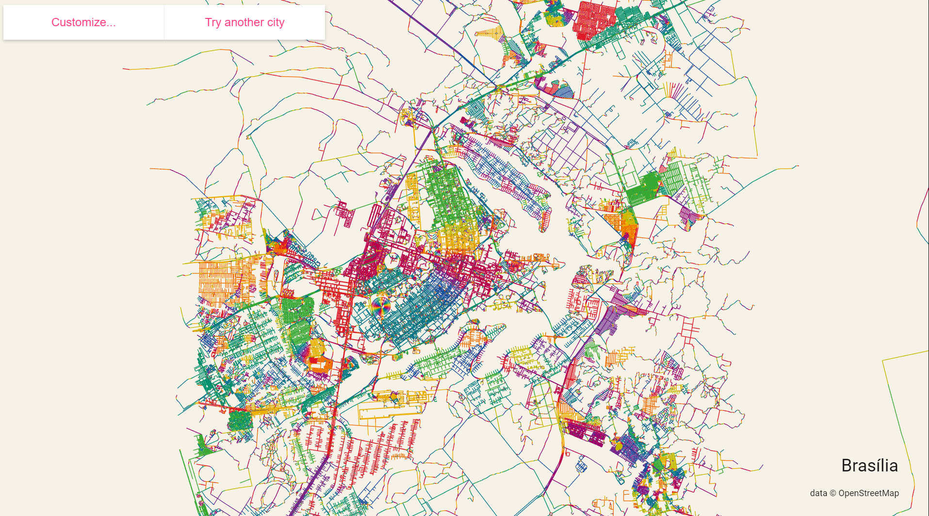
Detail: