A transport network model of the Roman Empire
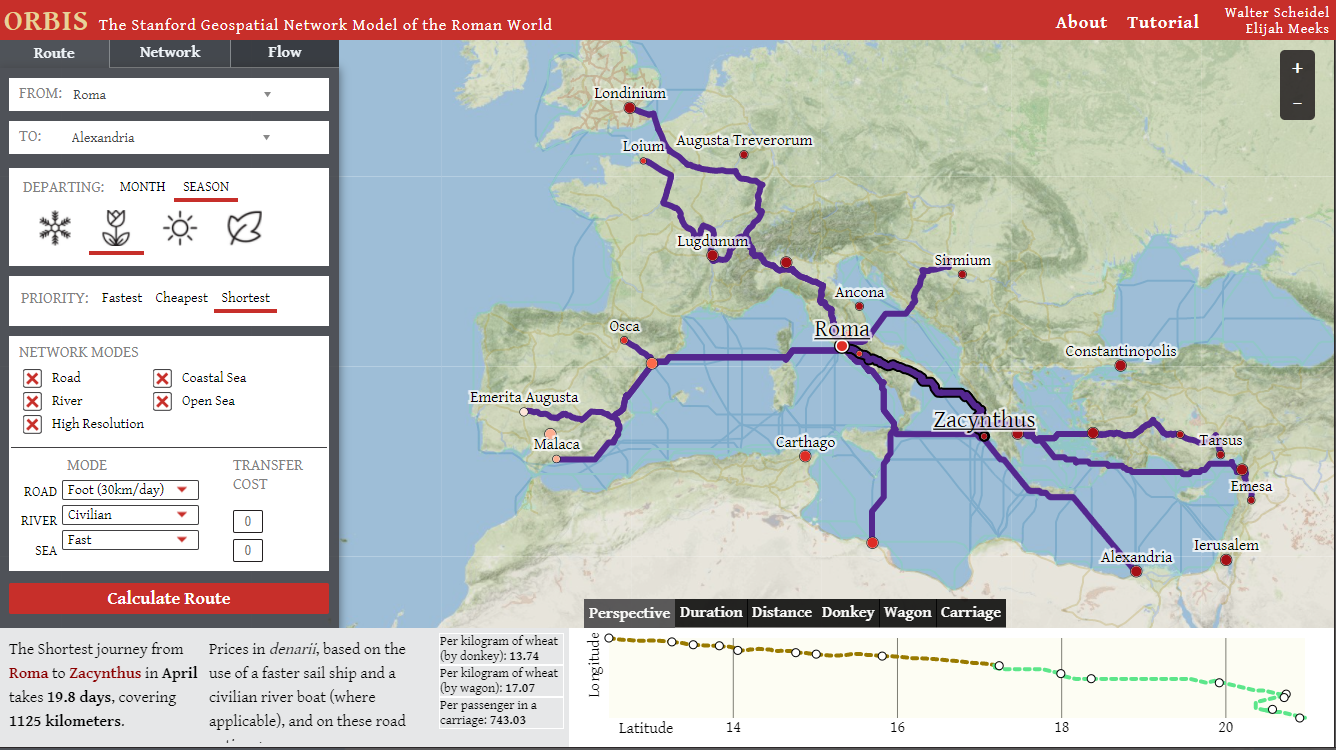
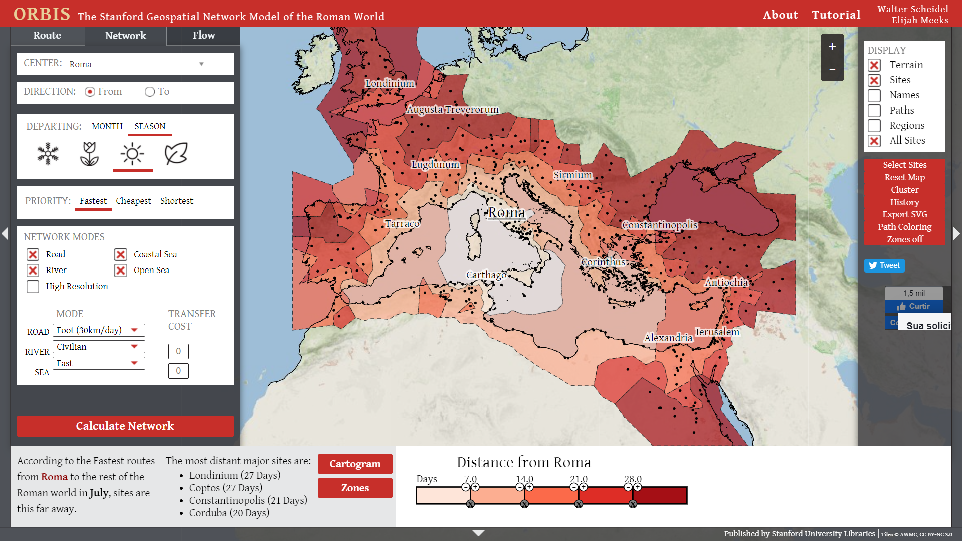
A long time ago in 2014, I posted about Orbis: The Stanford Geospatial Network Model of the Roman Empire. Orbis is a free online tool that allows one to estimate transportation costs in the Roman Empire. The tool indicates what would have been the likely route and duration of a journey given the selected season, transport mode, etc. It allows one to interactively explore transport routes, path trees, isochrones, cartograms etc. Orbis was developed by Walter Scheidel and Elijah Meeks.
I had forgotten about this project but a tweet from Jessica Dalton (ht Renato Colisete) reminded me how amazing this tool is.


There are a few short videos showing how to export data and to navigate the interactive maps of the project.