bot: Esquina do Brasil
🤖
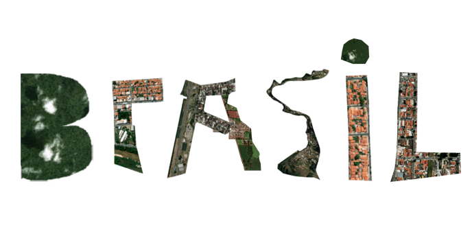
I needed a bit of time off from work during the holidays and decided to learn something new. I’ve created “Esquina do Brasil” @esquinadobrasil, a bot 🤖 that tweets the map 🛰🌎 of a random census tract in Brazil every 15 minutes. The tweet shows the satellite imagery data and includes additional information on resident population, area (km²), name of the neighborhood and whether that census tract is classified as an urban or rural area. The bot was created in R and the code is available on GitHub.
The purpose of this bot is to procrastinate help people ‘visit’ every single corner of Brazil and have a glance of the country’s beautiful places and inequality issues. The 🤖 is also meant to have an educational purpose to arouse people’s curiosity and interest on spatial data science and programming in R. Here’s the example of one of the early tweets from
@esquinadobrasil.
Municipio: Matão - SP
— Cada esquina do Brasil (@esquinadobrasil) January 4, 2023
Setor censitário: 352930205000047
População: 793
Área (Km2): 0.17
Zona: urbana
🗺 https://t.co/gGsBT1HOfq pic.twitter.com/RW0tDwbFR4
ps. I had this idea a couple years ago but only now I had the mental space to learn how to do it. It was fun!