Open source transport network analysis
Several people use ArcMap (ArcGis) to run transport network analysis to calculate network distances, travel time matrices, accessibility etc etc. ArcMap is nice but it is also quite expensive $$$. I would like to highlight a few open source alternatives:
Using R:
Using Python:
Other languages:
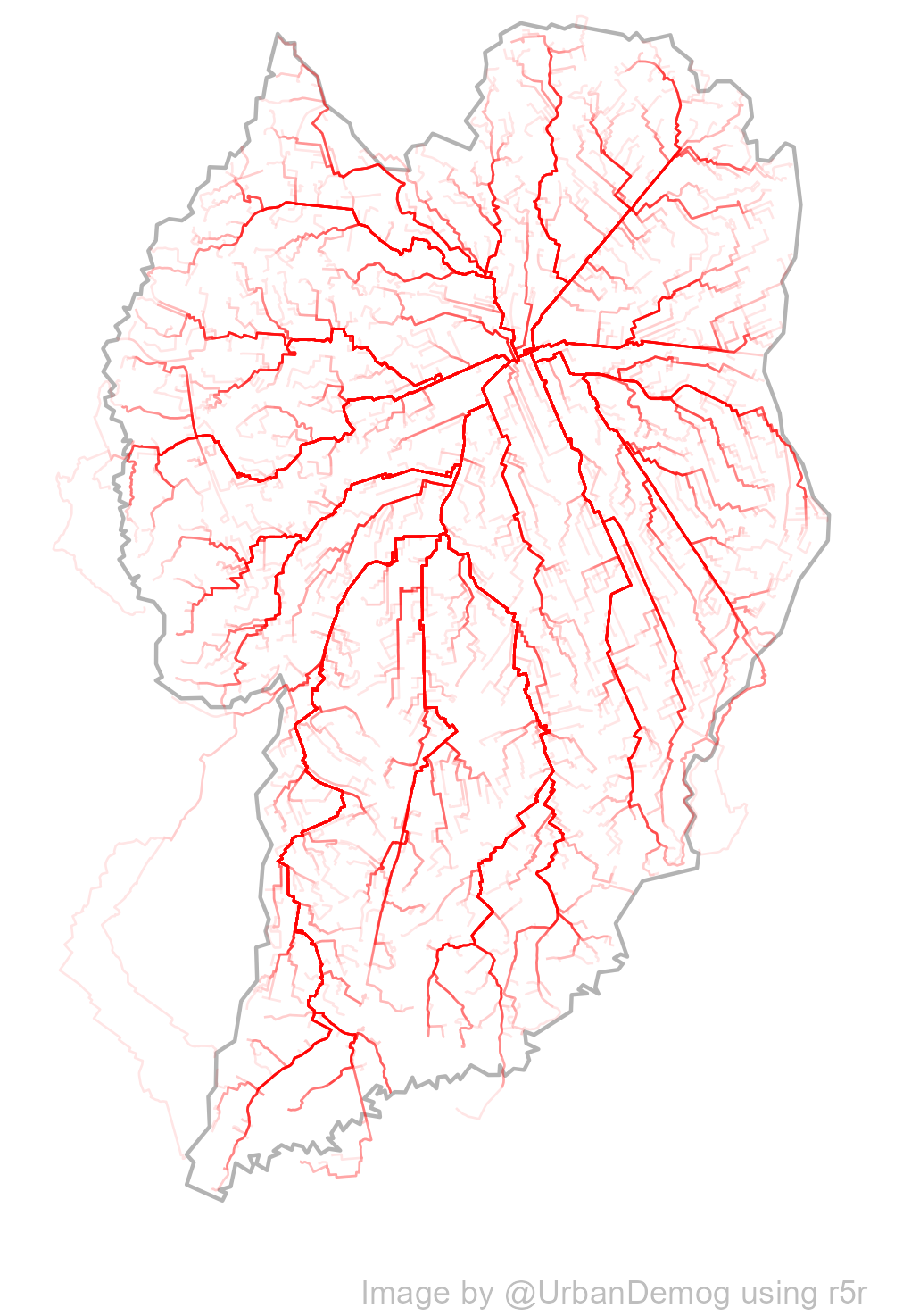
As you see, there are several open source alternatives for running transport network analysis. Mind you that only a few of these tools allow for multimodal routing including public transport, such as r5r, m4ra, OpenTripPlanner, r5py and urbanaccess.
This paper by Christopher Higgins et al. compares the performance and results of a few of these options. It would be great to have a more comprehensive benchmark, though